


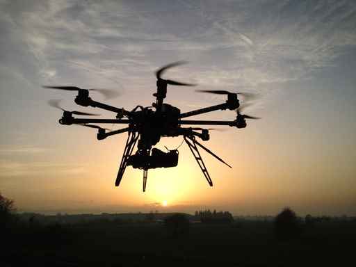
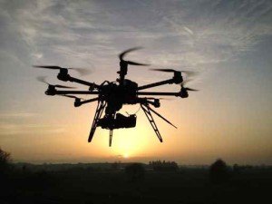
Munich Re teamed with a drone company to help perform quicker and more detailed post-catastrophe insurance assessments around the world.
The reinsurer’s new partner: PrecisionHawk, a private company founded in 2010 that uses drones for data collection and analysis. The company, which is based in Raleigh, N.C. and Toronto, Canada, also relies on terrestrial data software and a satellite imagery system to help do its job. Plans call for initially using the partnership in North America and Latin America.
There was an April earthquake in Ecuador that put the fledgling partnership to work, and gives a good idea of how it will function in future catastrophe events. PrecisionHawk collected drone imagery of the disaster site a few days after it hit, and then used its data software to process and analyze the images. Munich Re then got the processed results. One 45-minute drone flight can cover a half-square mile and collect high-resolution imagery that reduces the need to use adjusters in affected areas, according to the deal announcement.
Tobias Büttner, head of Corporate Claims within Munich Re, said that the partnership should help “significantly” speed up how it assesses and estimates losses after a natural disaster hits.
“Our clients will benefit not only from the high resolution of spatial data, but also from processing the data with algorithms,” Büttner said in prepared remarks. “Innovative technologies will considerably improve the efficiency of claims management in the insurance industry in the future.”
Source: Munich Re, PrecisionHawk
 The Hanover Announces CEO Succession Plan; Roche to Retire at End of 2026
  The $400,000 Chief of Staff Is the CEO’s Secret Weapon in the AI Age
  U.S. P/C Industry Books Best Result in a Decade, but Not All Lines Enjoy Success
  AI Adoption Continues, But 70% Want More Training: SMB Survey


