


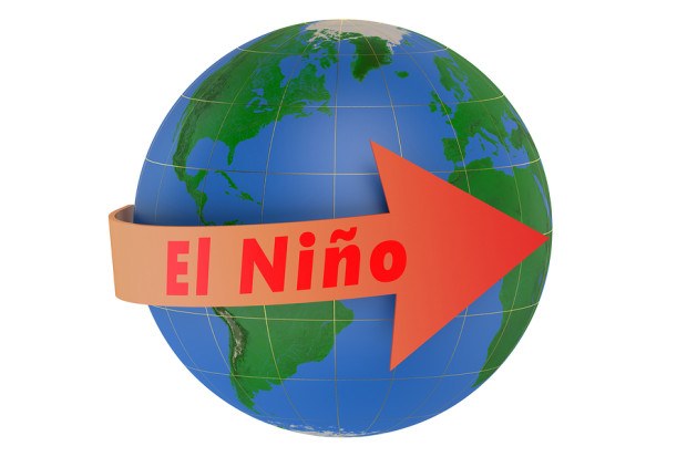
The current El Niño weather pattern, a phenomenon associated with extreme droughts, storms and floods, is expected to strengthen before the end of the year and become one of the strongest on record, the U.N. weather agency said on Monday.
The World Meteorological Organization (WMO) said this El Niño was already “strong and mature” and the biggest in more than 15 years.
The phenomenon is driven by warm surface water in the eastern Pacific Ocean, and this time three-month averages will peak at more than 2 degrees Celsius above normal, putting this El Niño in the same league as those seen in 1972-73, 1982-83 and 1997-98, the WMO said.
WMO Secretary-General Michel Jarraud said the world was better prepared for this El Niño than ever before, and the worst-affected countries were planning for the impact on agriculture, fisheries, water and health, and implementing disaster management campaigns to save lives and minimize economic damage.
“However, this event is playing out in uncharted territory. Our planet has altered dramatically because of climate change, the general trend towards a warmer global ocean, the loss of Arctic sea ice and of over a million sq km of summer snow cover in the northern hemisphere,” the WMO statement quoted Jarraud as saying.
“So this naturally occurring El Niño event and human-induced climate change may interact and modify each other in ways which we have never before experienced. Even before the onset of El Niño, global average surface temperatures had reached new records. El Niño is turning up the heat even further.”
The WMO did not predict when this El Niño would start to subside, but said they normally reach maximum strength between October and January, then persist through much of the first quarter.
 Self-Driving Car Firms Must Address Emergency Vehicle Interference
  Leadership Change at Vantage: Former Arch Execs Grandisson, Gansberg to be Chair, CEO
  The $400,000 Chief of Staff Is the CEO’s Secret Weapon in the AI Age
  Executives on the Move at Arch, Allstate, Everest


