


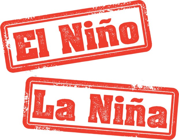
The El Nino that disrupted weather worldwide last year has peaked. Now forecasters are predicting what may be next for the world’s climate.
A number of El Nino-Southern Oscillation indicators suggest that the 2015-16 El Nino has peaked and weather models predict it will decline in coming months, Australia’s Bureau of Meteorology said on its website on Tuesday. Conditions will return to neutral during the second quarter with a chance of La Nina in the second half of 2016, it said.
La Nina is a cooling in the equatorial Pacific Ocean, sometimes thought of as El Nino’s opposite. The two are extreme phases of a naturally occurring cycle, according to the National Oceanic and Atmospheric Administration. Based on the 26 El Nino events since 1900, about 50 percent have been followed by a neutral year with 40 percent by La Nina, according to Australia’s weather bureau.
“Neutral and La Nina are equally likely for the second half,” the bureau said. A repeat of El Nino is the least likely outcome, it said.
The current El Nino is rated as one of the three strongest since 1950. The warming of the equatorial Pacific changes weather worldwide, bringing drought to parts of Asia while the southern U.S. can get more rain. Its effects helped palm oil cap its best year since 2010, while sugar posted its first annual gain in five years.
Roiling Markets
La Nina can also roil agricultural markets as it changes weather. A large part of the agricultural U.S. tends to dry out during La Nina events, while parts of Australia and Indonesia can be wetter than normal. Citigroup Inc. has said that a transition to a strong La Nina may present significant upside potential for grains price volatility.
The previous La Nina began in 2010 and endured into 2012. Conditions typically last between 9 months and 12 months, while some episodes may persist for as long as two years, according to NOAA. Both La Nina and El Nino tend to peak during the Northern Hemisphere winter.
 The $400,000 Chief of Staff Is the CEO’s Secret Weapon in the AI Age
  AI Pushes Underwriting Beyond Risk Selection to Prevention
  Four Insurers Join Ward’s Annual Top 50 P/C Ranking for 2026
  Wendy’s, Chipotle Not Affected by Cyclosporiasis Outbreak


