


Two new weather forecasting products are being introduced this year, according to NOAA’s National Hurricane Center (NHC).
A new operational hurricane track cone map will now include tropical storm and hurricane watches and warnings for inland areas. It had been tested successfully during last year’s hurricane season.
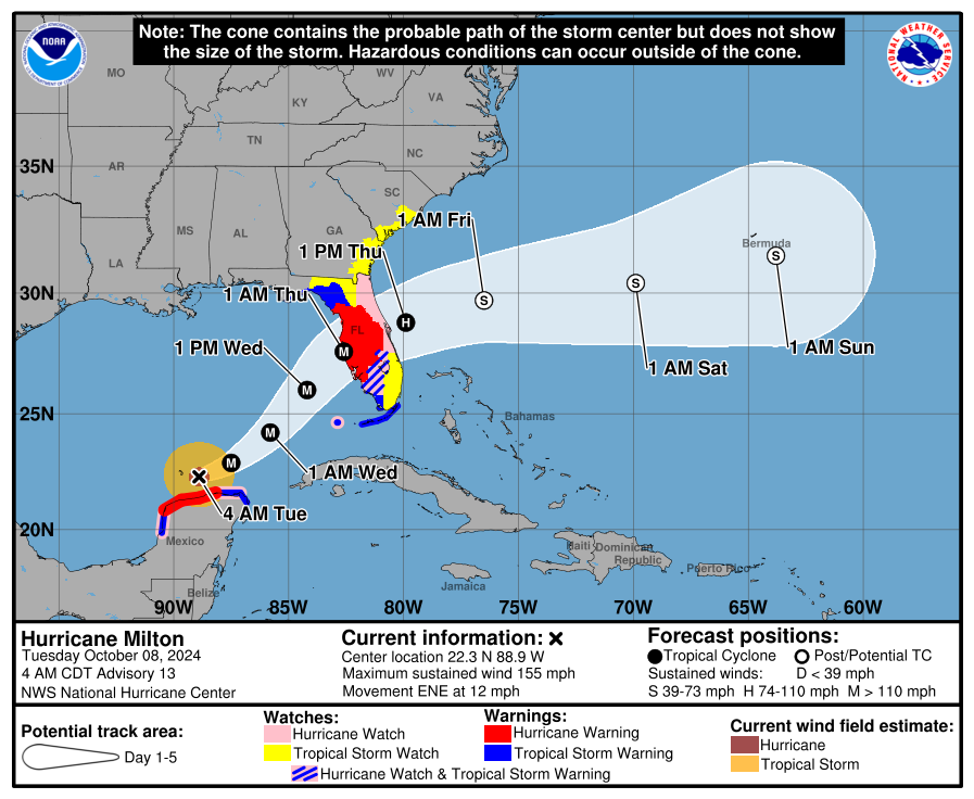
Features of the new cone graphic:
- Incorporates all land-based (coastal and inland) tropical storm and hurricane watches and warnings in effect for the continental United States, Hawaii, Puerto Rico, and the U.S. Virgin Islands.
- Uses single shading for the entire 5-day outlook cone.
- Legend depicts symbols for areas where a hurricane watch and tropical storm warning are both in effect (represented by diagonal pink and blue lines).
- Full and intermediate Tropical Cyclone Advisories are/will be publicly available on hurricanes.gov.
A new alert for the Hawaiian Islands includes storm surge watches, warnings, and a peak storm surge graphic.
This expands the NHC’s storm surge products and services that are currently serving the U.S. East Coast and Gulf of America coastline, Puerto Rico and the U.S. Virgin Islands.
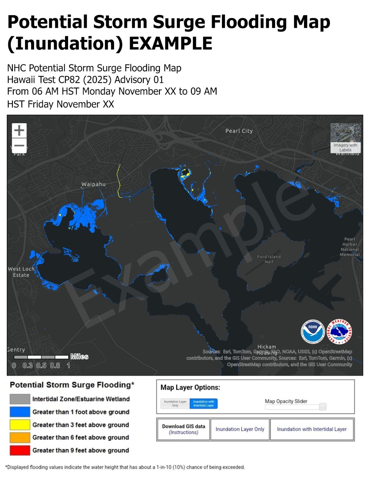
The new storm surge alerts will:
- Deliver probability-based forecasts of water and storm surge levels within 72 hours of hurricane impacts.
- Incorporate forecast inputs such as storm track, wind intensity, and wind radii.
- Are publicly available for the main Hawaiian Islands.
 Duck Creek Acquires Send, Creating Agentic Underwriting-to-Core Platform
  Wendy’s, Chipotle Not Affected by Cyclosporiasis Outbreak
  Default Speed Limit in Iowa Changes from 55 to 60MPH
  AI Adoption Continues, But 70% Want More Training: SMB Survey


