


Beginning on or around Aug. 15, 2024, a new change to the National Hurricane Center’s inland tropical storm and hurricane watches and warnings will assist residents and business owners in preparing for wind-related weather events.
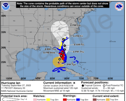
Currently, the cone graphic warnings depict the watches and warnings along the coastline of an affected area.
The new, experimental version will include a cone graphic warning for inland areas, as well.
There will be opportunities to provide feedback during the product’s experimental phase, the NHC said.
Because of the experimental nature of the graphic, it may not be available as soon as the current operational cone graphic due to the time needed to compile complete inland watch and warning information, the NHC added, indicating it should generally be available within 30 minutes of the advisory release.
The current operational cone graphic will continue to be available, and there will be no changes concerning how coastal watches and warnings are displayed on that graphic, the NHC said.
The new experimental graphic will be available on the NHC website for both full and intermediate advisories.
 Montgomery v. Caribe Increases Litigation Activity, Not Shipper Exposure
  NAIC Says Data Taken in Hack Has Been Published Online
  Travelers Builds Insurance-Specific LLM
  Older Buildings, Substandard Construction Left Venezuela Vulnerable to Earthquakes