


Forecasters at the National Hurricane Center hope new color-coded maps they’re trying out this year will simplify two important points about storm surge for coastal residents: how far from the beach the water will spread and how high that water will rise.
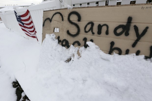
Storm surge—the ocean coming onto normally dry land—is one of the deadliest and most damaging hazards during a hurricane, but it’s hard to predict and hard to explain.
Literally drawing a picture for people, highlighting the places most vulnerable to flooding, should help, Hurricane Center Director Rick Knabb said this week at the National Hurricane Conference in Orlando.
“When emergency managers tell you to evacuate, it will be a lot clearer why they’re telling you to go,” Knabb said.
The storm-surge graphics will be posted on the hurricane center’s website. They will be issued when a hurricane or tropical-storm watch is first posted for any part of the Gulf or East coasts, 48 hours before tropical storm-force winds are expected. Then they’ll be updated every six hours throughout the storm.
Separate storm-surge warnings, similar to current tropical-storm or hurricane warnings, will be rolled out in 2015.
“Storm surge can go miles inland from the immediate coastline, not just a couple blocks, and people might not realize just how far inland storm surge can penetrate in the largest and strongest of hurricanes,” Knabb said.
Providing graphics and warnings about the dangerous phenomenon is part of an ongoing effort at the hurricane center to improve the way forecasters talk to people about storm hazards.
A storm’s winds and storm surge can reach well beyond the “cone of uncertainty” that shows a storm’s potential path. Forecasters at the hurricane center are so worried that people focus too much on the cone that they’re considering making the cone much bigger in future hurricane seasons to show just how far a storm’s winds could reach.
“The strategy is to have each individual hazard and where it could occur and putting out the products and warnings for that hazard so that everyone is clear on what hazard they might need to contend with in this particular case,” Knabb said.
The six-month Atlantic hurricane season begins June 1. The 2013 season tallied 14 tropical and subtropical storms, but just two became hurricanes and only one storm, Tropical Storm Andrea, made landfall in the United States.
 Red Sea War Insurance Costs Rise After Houthi Blockade
  Wendy’s, Chipotle Not Affected by Cyclosporiasis Outbreak
  California Theft Crew Busted, Responsible for $1.3M in Stolen Vehicles
  Raised on Breaches, Digital Natives Think Differently About Cyber Risk


