


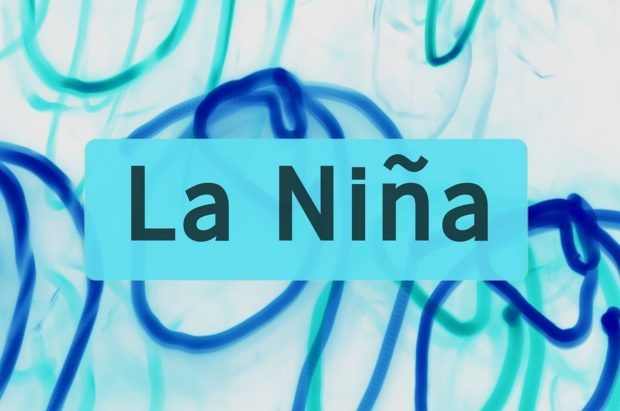
The current La Niña weather cycle is likely to transition into more neutral conditions by spring, a U.S. government weather forecaster said on Thursday
La Niña is characterized by unusually cold ocean temperatures in the equatorial Pacific Ocean and is linked with floods and droughts. It is the opposite phase of what is known as the El Niño Southern Oscillation (ENSO) cycle.
The National Weather Service’s Climate Prediction Center (CPC) in its monthly forecast pegged the chance of so called ENSO-neutral conditions at about 55 percent during the March-May season.
“La Niña is anticipated to continue affecting temperature and precipitation across the United States during the next few months,” the agency said.
The agency last month projected a 85 to 95 percent chance of La Niña conditions persisting through the Northern Hemisphere winter.
La Niña emerged in 2016 for the first time since 2012, before fading in early 2017.
Typically less damaging than El Niño, La Niña tends to occur unpredictably every two to seven years. During a La Niña year, winter temperatures are warmer than normal in the Southeast United States and cooler than normal in the Northwest, according to the U.S. National Ocean Service.
The Southwest typically sees drought conditions during a La Niña cycle as a high-pressure ridge prevents storms moving west from the Pacific to the states of New Mexico and Arizona.
 Leadership Change at Vantage: Former Arch Execs Grandisson, Gansberg to be Chair, CEO
  Executives on the Move at Arch, Allstate, Everest
  Reframing Like a Fox: How Insurance Leaders Can Catch Strategic Drift Before It Compounds
  Default Speed Limit in Iowa Changes from 55 to 60MPH