

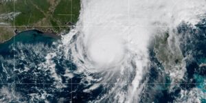














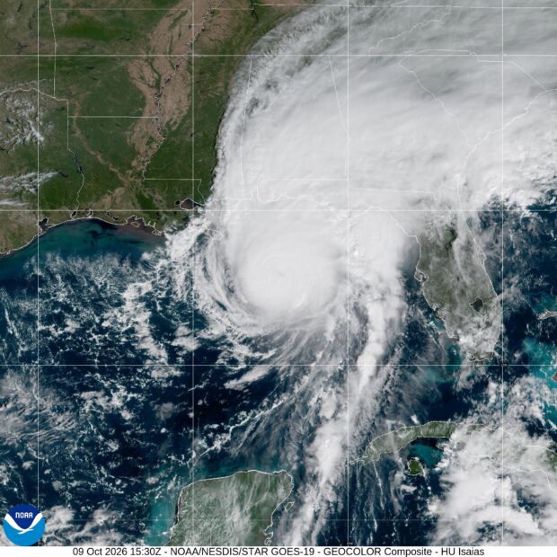
Last year, NASA and its European partners launched the Sentinel-6B satellite to improve hurricane forecasts, help protect infrastructure, and benefit commercial industries, according to NASA”s Jet Propulsion Laboratory at the California Institute of Technology.
The satellite, flying 30 seconds behind its predecessor, Sentinel-6 Michael Freilich, provides precise sea level height measurements during what oceanographers expect to be a historic El Niño.
The data each satellite collects will allow scientists to better understand this year’s El Niño and also help them create more accurate hurricane predictions.
Each Sentinel-6 satellite measures ocean height, as well as the size of waves and marine wind speed, using a radar altimeter, which bounces thousands of radar pulses a second off the crests and troughs of waves.
Ocean height varies from place to place and provides insight into the ocean’s heat content, and since warm water expands, that helps forecast how fast hurricanes will grow.
The satellites each carry a second instrument, called the Global Navigation Satellite System – Radio Occultation (GNSS-RO), which measures atmospheric properties, such as humidity, pressure, and temperature.
 Push to End U.S. Changing Clocks Hits Dead End
  Viewpoint: The One Thing Holding Back Insurers’ AI Efforts
  Sedgwick: Property Claims Face Delays, Are Growing More Complex
  Amazon Cargo Plane Pilots Weren’t Warned About Wind Before Miami Crash: NTSB