

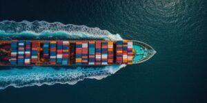

















For decades, property/casualty carriers have relied on a singular technological foundation to price marine risk and establish geographic accumulation: the Automatic Identification System, or AIS. Originally designed as a localized collision avoidance tool for vessel masters, AIS was rapidly adopted by the commercial marine insurance sector as the de facto standard for global fleet tracking.
The premise was straightforward. Underwriters built their portfolios, modeled their catastrophe exposure, and deployed capacity based on where a vessel’s digital signal indicated it was operating.