




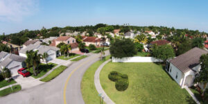












The Golden State has experienced significant insurance-market disruption in recent years, with some carriers reducing exposure or limiting new business in portions of the state. Many insurers continue to rely on ZIP-code-level risk assessments to determine insurability; yet within those broad risk zones, not every property faces the same threat.
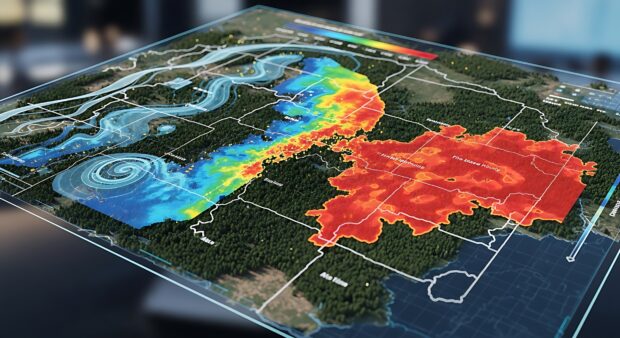
A case study from the Insurance Information Institute (Triple-I) and Guidewire HazardHub offers timely evidence that more precise wildfire modeling can help chart a better path forward. The study reveals even in communities widely labeled as “high risk,” thousands of properties carry far less exposure than their location would suggest. In other words, with the right data, safer ground can be found throughout many ZIP codes that were considered uninsurable in the past.