


















Last week, Tropical Storm Fay became the earliest “F” named storm in the historical record, Karen Clark & Company reported yesterday, estimating that the storm will mean roughly $400 million in losses for insurers.
The estimate does not include NFIP losses. Instead, the $400 million is KCC’s estimate of privately insured wind and storm surge damage to residential, commercial and industrial properties and automobiles.
In terms of timing, Fay formed 12 days earlier than the prior earliest “F” named storm: Franklin in 2005.
Making landfall near Atlantic City, N.J., at about 5:00 PM EDT on June 10, Fay was also the first tropical storm to come ashore in New Jersey since Irene in 2011, KCC said, noting that Superstorm Sandy was a post-tropical storm.
The KCC Flash Estimate report noted that damaging wind impacts of Tropical Storm Fay were felt in Maryland, Delaware, New Jersey, Pennsylvania and New York, with scattered power outages reported in New York and New Jersey and quickly resolved.
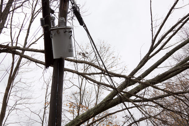
The report said that light wind damage is most likely from this storm, but that some structural damage is also possible from trees falling on buildings.
Source: Karen Clark & Company
 Edison Utility Shares Drop Due to Willful Misconduct Allegations in Eaton Fire Case
  The Impact of Claims Experiences on Trust
  Friend of Suspected FBI Data Thief Warned Teen Not to Hack Bureau
  Why Your Boss Matters More Than Remote or Hybrid Work When It Comes to Burnout and Job Satisfaction