
The title on the cover of the August 2021 edition of Nature magazine—”High and Rising: Satellite images reveal an increasing number of people and places exposed to floods“—gives a sense of what scientists at Cloud to Street spend their days studying: the far-reaching global impact of floods.
By harnessing the power of global satellites, AI and community intelligence, Cloud to Street tracks worldwide floods in near real time and remotely analyzes local flood exposure “for virtually any pixel on Earth without using ground equipment,” according to Cloud to Street CEO Bessie Schwarz.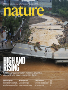
“By going not from the ground up but from the cloud down,” Cloud to Street overcomes some of the limitations of existing flood models, which can totally miss flooding incidents in some regions, she said.
The research featured in Nature found that the total population in locations with satellite-observed inundation grew by 58-86 million from 2000 to 2015. That means that the proportion of the global population exposed to floods has grown by 24 percent globally since the turn of the century.
The starting point for the research was a database of more than 3,000 large flood events derived from news media reports—the Dartmouth Flood Observatory database. Using satellite information, Cloud to Street developed a Global Flood Database, systematically mapping the maximum observed surface-water extent during 913 of the DFO-documented large flood events from 2000-2018.
The total inundation area from these events was over 2.2 million square kilometers, directly impacting 255-290 million people.
Among other findings:
According to the researchers, even their results may underestimate the extent of global flooding and exposed populations. They note the limitations of MODIS (Moderate Resolution Imaging Spectroradiometer) instruments on board the NASA satellites relied on for the research. With images taken twice daily at 250-meter resolution, urban and short-duration floods are underrepresented in the Global Flood Database.
Related article: Seeing Through Clouds: Why Now Is the Time for Geospatial Technology in Insurance
Related videos:
[ijtv id=”19961″]
[inline-ad-1]